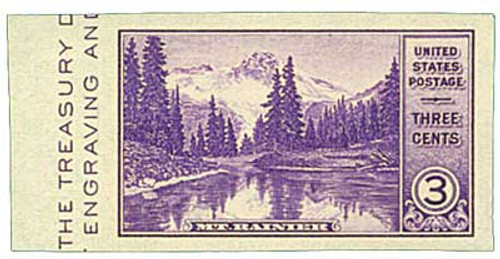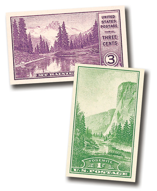
# 750a - 1934 3c Mt Rainier, imperf single
1934 American Philatelic Exhibition Single
National Parks Series – Mount Rainier
Imperforate
First City: Atlantic City, New Jersey
Quantity Issued: 511,391
Printed by: Bureau of Engraving and Printing
Printing Method: Flat Plate Press
Perforation: None
Color: Deep Violet
Mount Rainier was formed by volcanic activity. And in the prehistoric past, debris flowing from Mount Rainier’s volcano formed the lands east of Tacoma and south of Seattle. At 14,410 feet, it’s the highest peak in the Cascade Range.
Native Americans inhabited the park area up to 8,000 years ago. They called the mountain Takhoma, which loosely translates to “mother of all waters,” likely because the mountain’s glaciers provided water to the lakes and rivers in the area. The mountain is covered with over 35 square miles of glacier. Twenty-five “rivers of ice” flow out of or near its summit.
The towering mountain captivated all those who saw it. One of the early Europeans to see it was British naval officer Captain George Vancouver, who saw it when he sailed into Puget Sound in 1792. He named the mountain after his friend, Rear Admiral Peter Rainier.
In 1870, Hazard Stevens and P.B. Van Trump climbed to the top of Mt. Rainier by way of the Gibraltar Route. They were the first non-natives to make a documented ascent of the mountain. Then in 1883, James Longmire found a mineral spring while descending the mountain and opened a hotel and spa there.
Some of the earliest calls for a national park to protect Mount Rainier and its glaciers date back to 1883. The Northern Pacific Railroad was a large supporter of the park idea, as it would increase the number of travelers heading west to visit the natural wonders. Over time the railroad’s proposal lost steam.
However, on February 20, 1893, President Benjamin Harrison established the Pacific Forest Reserve, protecting a portion of the Cascade Mountains. The reserve protected a portion of Mount Rainier, but not the glaciers on its western side. The purpose of the reserve was to protect timber and watershed values, so many feared Rainier was in danger. This proclamation was a major force behind the renewed calls for a national park.
Among those calling for the park was Bailey Willis, a geologist who had studied the mountain for the Northern Pacific a decade earlier. Later in 1893, he proposed the creation of Mount Rainier National Park at the annual meeting of the Geological Society of America. They supported his proposal and soon other organizations joined the cause. Both scientists and mountain clubs, such as the Appalachian Mountain Club and the Sierra Club, led by John Muir, led the campaign for the park. Members of all these organizations wrote articles for their cause and toured the country giving lectures on the importance of protecting the mountain.
Within a year of the reserve’s creation, a national park bill was submitted to Congress. However, the process was slow, and legislation would be introduced five more times. But success was finally achieved on March 2, 1899, with the passage of the Mount Rainier National Park Act. This act protected the entire mountain along with almost 370 square miles surrounding it. Mount Rainier is notable as the first national park created from land already set aside as forest reserves.
Though still considered an active and dangerous volcano (it last erupted in the mid-1880s), Mount Rainier is a popular ski destination. Paradise, Washington, located on the mountain’s south face, is one of the most frequently visited areas of the park. It has been called “the snowiest place on Earth,” with an average annual snowfall over 50 feet.
A 93-mile-long footpath, the Wonderland Trail encircles Mount Rainier. Since 1915, it has guided adventurers past the park’s glaciers, waterfalls, forests, and canyons. Once only available to park rangers or mountaineers, the trail was improved for tourists in the 1920s, and promoted as offering the “most glorious trip in the world.”


